
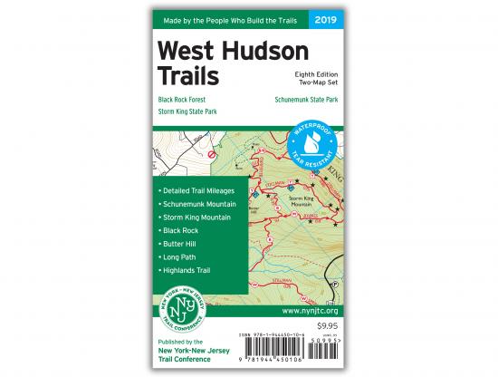


Description
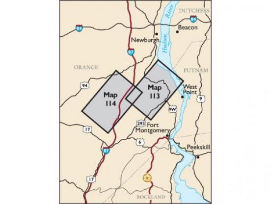
Our West Hudson Trails Map is a two-map set featuring trails in parklands west of the Hudson River in the Hudson Highlands of Orange County, New York. The maps are printed in vibrant color on waterproof and tear-resistant Tyvek, and are a must-have for exploring these parklands in Orange County west of the Hudson River. The 2019 update includes multiple new trails, adjustments to scenic viewpoints, newly-preserved lands, and the latest trail relocations.
Map features include:
- Nearly 70 miles of marked trails in Orange County, New York
- Parklands including Black Rock Forest, Schunemunk State Park, and Storm King State Park
- More than 10 miles of the Long Path and nearly 25 miles of the Highlands Trail
- Detailed junction-to-junction trail mileage numbers
- 20-foot elevation contours
- 1:20,000 scale (1 inch = 0.32 mile)
- Convenient map sizes to carry and use on the trail
- Inset map showing a portion of Orange County's Heritage Trail
- Parkland boundaries
- Unmaintained trails and woods roads
- Viewpoints, mines, springs, and other points of interest
- Parking areas and bus stop locations
- Trail descriptions, park contact information, history, and regulations
- UTM coordinate grid
- Two-map set, map #s 113 & 114
*ALL SALE ITEMS ARE FINAL SALE*
Disclaimer : All information contained on this page is subject to change without notice. Thruway Sporting Goods is not responsible for discrepancies in pricing, listed information or incorrect images. Please visit us in store for the most up to date pricing, and information.